Large construction projects often take 20% longer to finish than anticipated and exceed budget by up to 80%. We understand how important it is for your company to be able to properly demonstrate a property to prospective clients and to be able to properly illuminate all of the advantages a specific home or location offers. Drone data allow stakeholders to view regular progress of the sites from an aerial perspective, as well as provide 3D models of buildings and construction sites.
🤖 Construction Monitoring with UAV
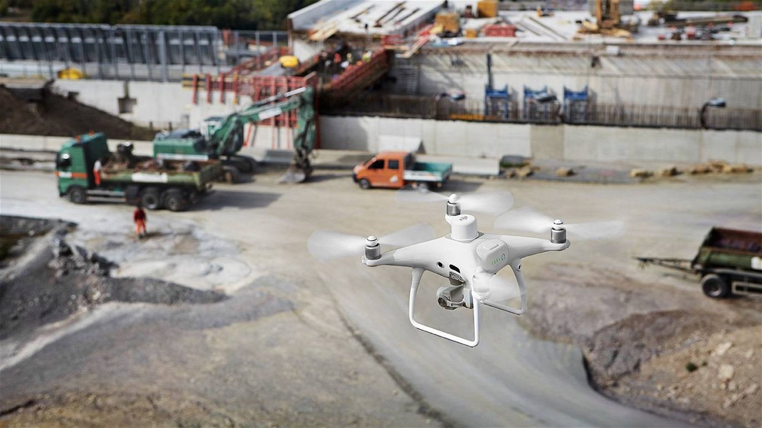
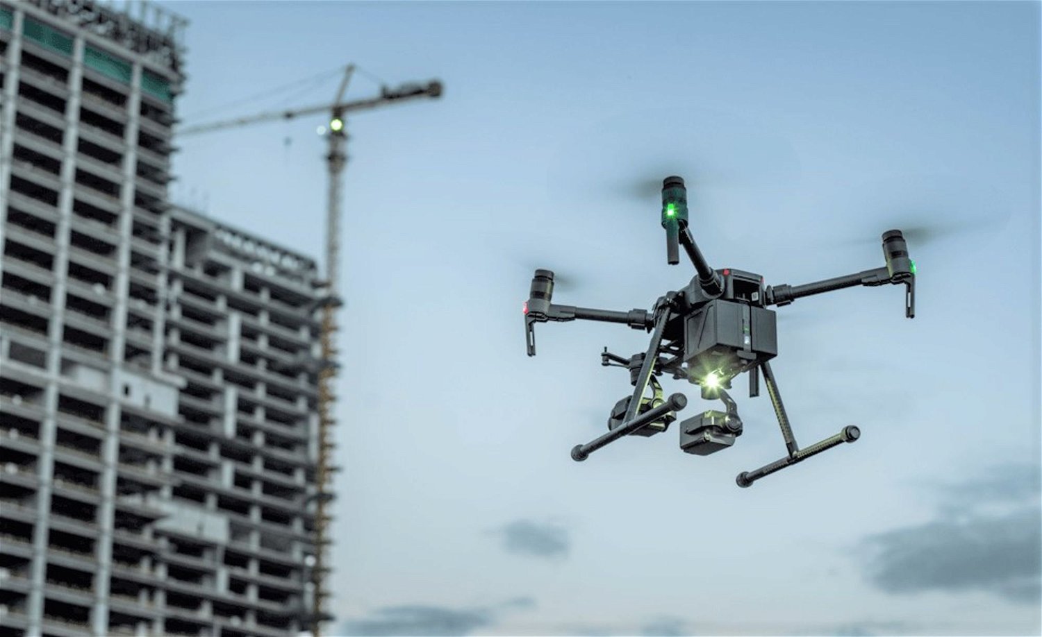
The use of drones is transforming a variety of sectors and fields thanks to rapid development and modern technological advancements. Construction site monitoring and planning is a critical industry where UAVs are used to improve the performance, speed, and precision of data. Drones are well-established in several construction project processes such as pre-planning, comprehensive surveying, 3D mapping, construction process monitoring, quality monitoring, safety inspections, marketing, and so on. They give users a bird's-eye view of the entire project site, revealing issues that would be impossible to spot during ground-level inspections, increasing efficiency, and accuracy. Additionally, the geotagging capabilities allow for the acquisition of relevant area measurements and the conversion of those measurements into an estimated stockpile volume for quick, reliable, and data-driven decision-making. Drone construction progress monitoring can also be done a lot more frequently than with other methods of aerial observation. You can also find parts of the project that are behind schedule, giving investors and developers the most up-to-date information and keeping them better informed on the progress of the project.
Drones can be used throughout the life of a construction project to monitor progress, for regular reporting to customers and other stakeholders, and to track and monitor stockpiles of materials onsite.
🚧 Digitizing the Industry
The digitization of construction sites provides project managers and stakeholders with an aerial overview of the site. Secondly, the orthomosaic map, which is a series of individual pictures linked together by software, allows for a more detailed study and insights because true distances can be estimated. Finally, the data can be developed into 3D models, bringing the constructor's perspective to life. Clients, stakeholders, and even workers can obtain insight into the project safely with a comprehensive 360 view of the worksite. Unmanned Aerial Vehicles (UAVs) can also create CAD overlays to see if their actions have deviated from the original design plans.
Similar to the benefits drone inspections provide in agriculture, on construction sites the ability to gather aerial data on the status of the entire site quickly and efficiently can be invaluable, and potentially save companies a lot of money.
🏭 Drones in Construction Industry
Using drones to keep track of construction progress can be used by construction companies and developers for the following:
Regularly flying drones in the same pattern and at regular intervals to track changes;
Create a 360° view of the construction site;
Ensure the worksite is safe and meets local and international building standards;
Turn captured aerial data into 3D models;
Keeping track of progress and making sure the project is moving on schedule;
Keeping track of job site equipment and materials;
Conduct structural integrity checks to find problems before they become costly and difficult to fix and repair.
Drone inspections can also help construction operations with pre-planning, by providing visual data that can be converted into detailed 3D or orthomosaic maps of an area, which can then be used to identify the ideal location for a building.
💡 Benefits of UAV Technology
💻 Accessibility
Captured drone data, along with photogrammetry, can allow stakeholders to keep an eye on the site at their leisure rather than spending hours at the worksite.
📸 Quality
Excellent quality photography and videography from the drones can be used to easily monitor the progress of construction site projects with precise accuracy.
💰 Cost-effective
Drones significantly improve efficiency, cost-effectiveness, and speed while reducing risks, allowing for quick, reliable, and data-driven decision-making.
🧱 Future-Proof
Regular quality inspections on the site using drones can help to identify and evaluate any structural vulnerability to avoid any potential safety issues.
☎️ Get in touch
Interested to learn more about this particular service and pricing?
Send us a message through the contact form and we will get back to you within the next working day.

.gif%3Ftable%3Dblock%26id%3D7895e263-50e4-49e2-8159-6b62ac2090db%26cache%3Dv2?width=1500&optimizer=gif)